Log in
All resources
Create a design
41,226 Free Images of 1899 Maps
maps in the library of congress
maps of catholic dioceses of france
old maps published in the gallia christiana
maps made in the 17th century
pennsylvania
atlantis magni tomus tertius (biblioteca comunale di trento)
maps by nicolaes visscher i
list of vanity fair (british magazine) caricatures (1895–1899)
maps by pieter schenk (i)
fonds ancely - bibliothèque municipale de toulouse - maps
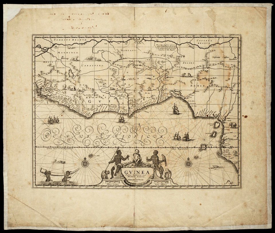
17th-century maps of ethiopia
description de l'universe
maps in the library of congress
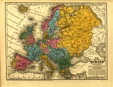
mitchell's school atlas
maps in the library of congress
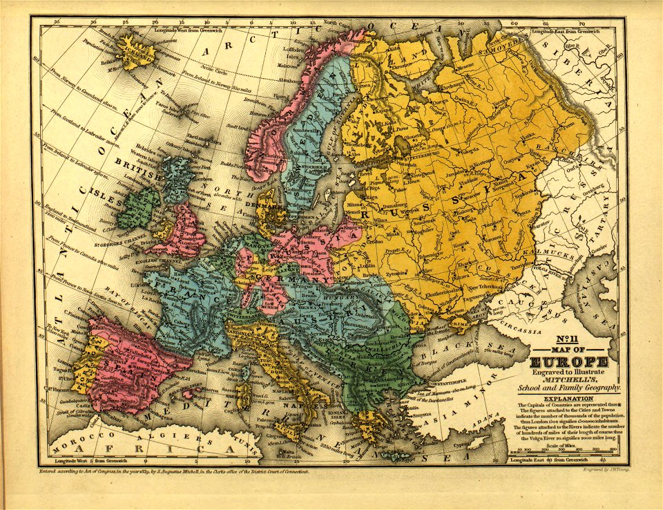
mitchell's school atlas
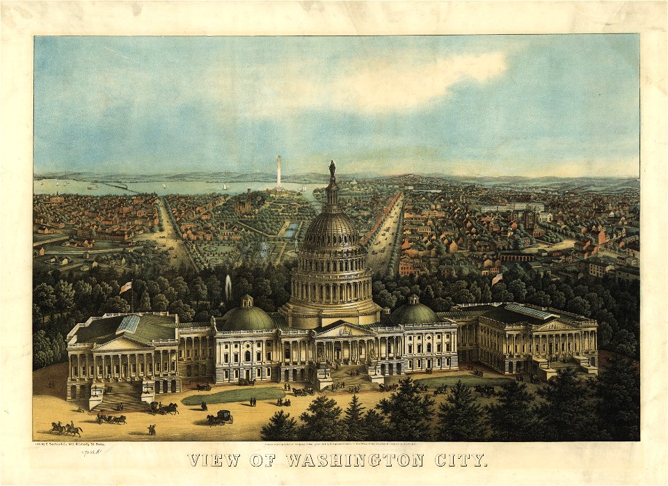
maps in the library of congress
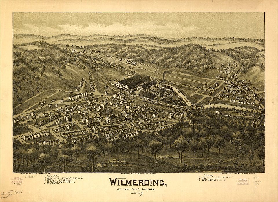
o. h. bailey
maps in the library of congress
o. h. bailey
maps in the library of congress
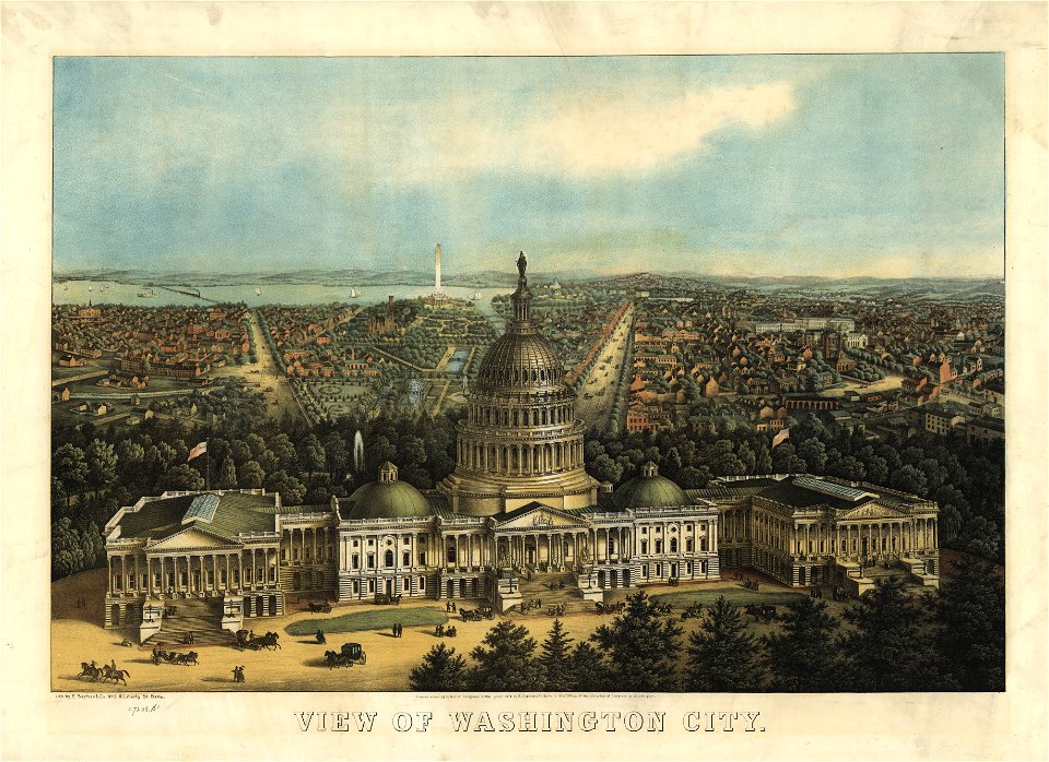
united states capitol in art
maps in the library of congress
united states capitol in art
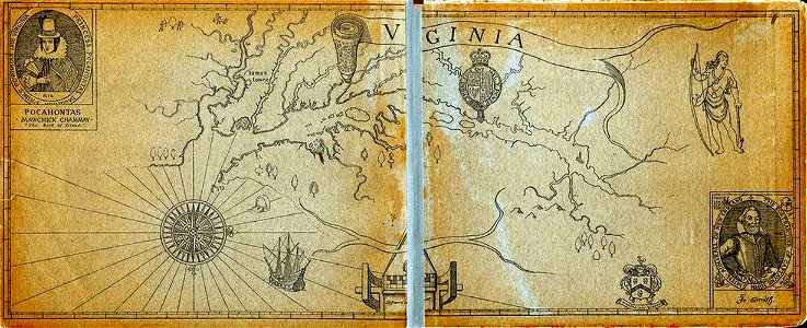
old maps of virginia
captain john smith
geographical illustrations by coronelli
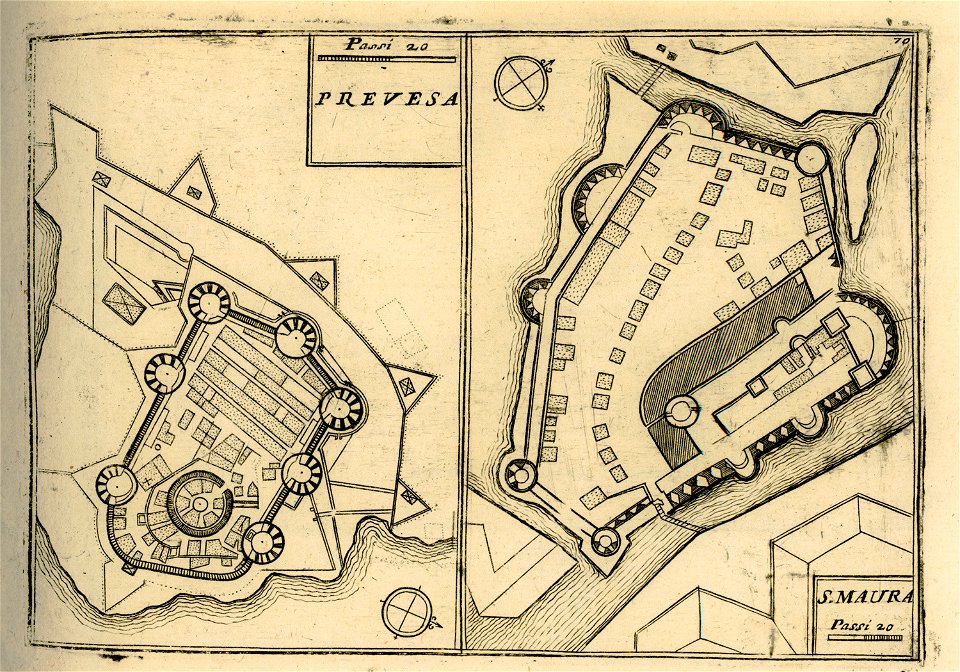
maps of lefkada
maps of paris by braun & hogenberg
maps of paris from paris musées
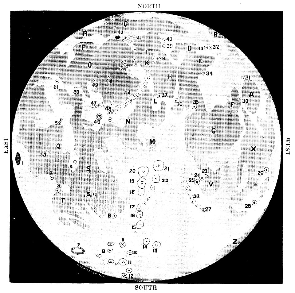
old maps of the moon
1887 maps
16th-century maps of the caribbean
theodor de bry
lucas janszoon waghenaer
1588 maps
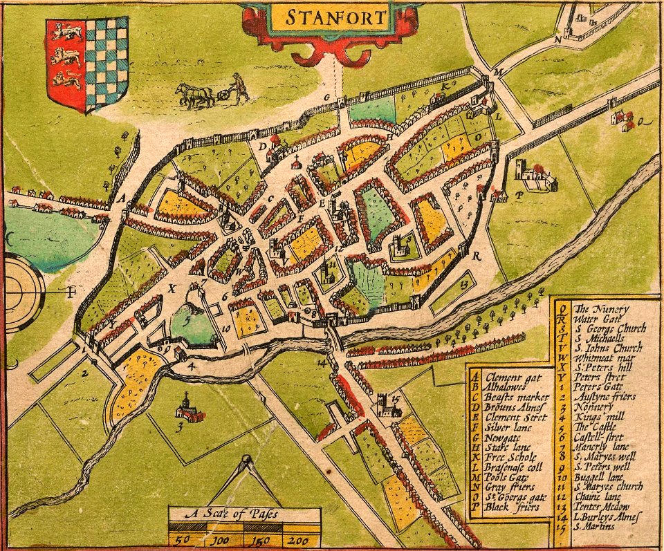
lincolnshire
stamford
pennsylvania
sheffield
pennsylvania
sheffield
provided by landsbókasafn íslands
maps by giacomo gastaldi
charts and maps of the royal museums greenwich
1682 maps
atlas of the russian empire (1800)
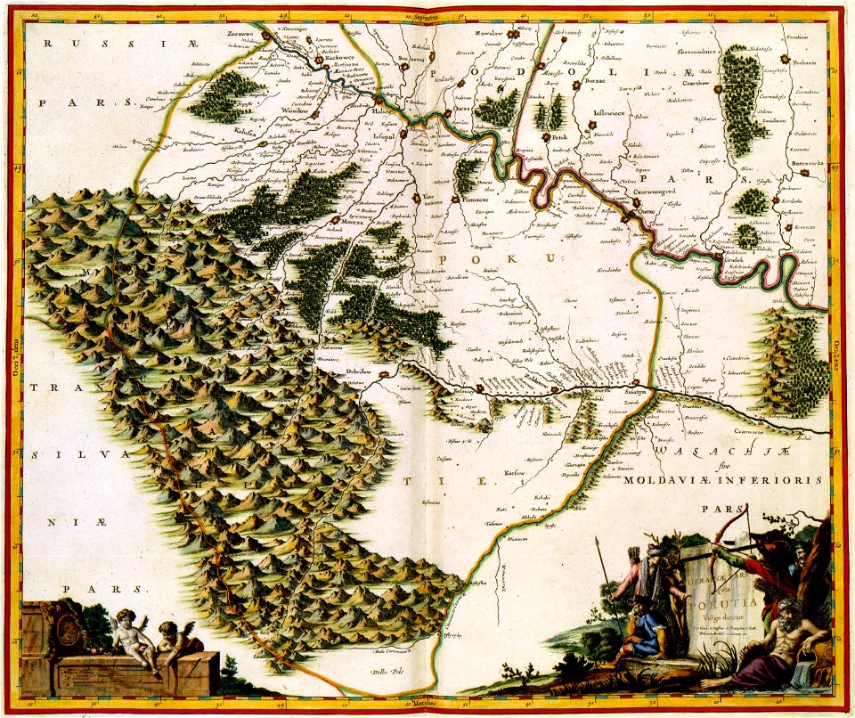
maps of volyn governorate
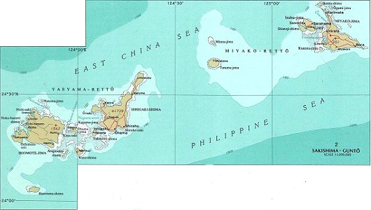
national atlas maps of occupied ryukyu islands
maps of sakishima islands
old maps of islands of the aegean sea
giuseppe rosaccio
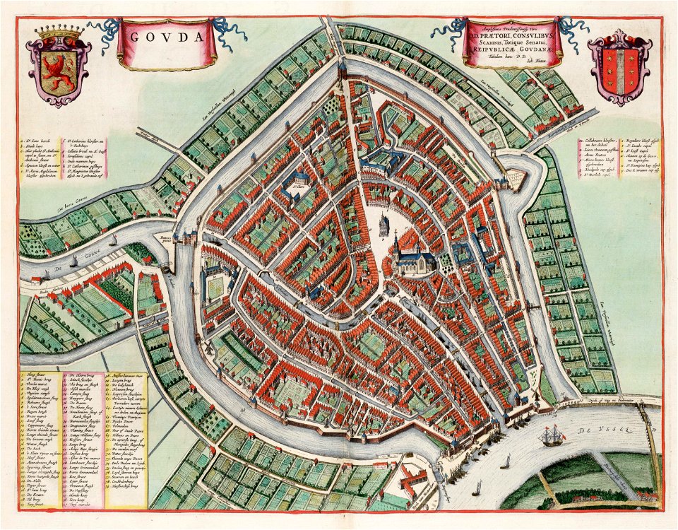
maps by willem and johannes blaeu
atlas van loon
maps of paris by braun & hogenberg
maps of paris from paris musées
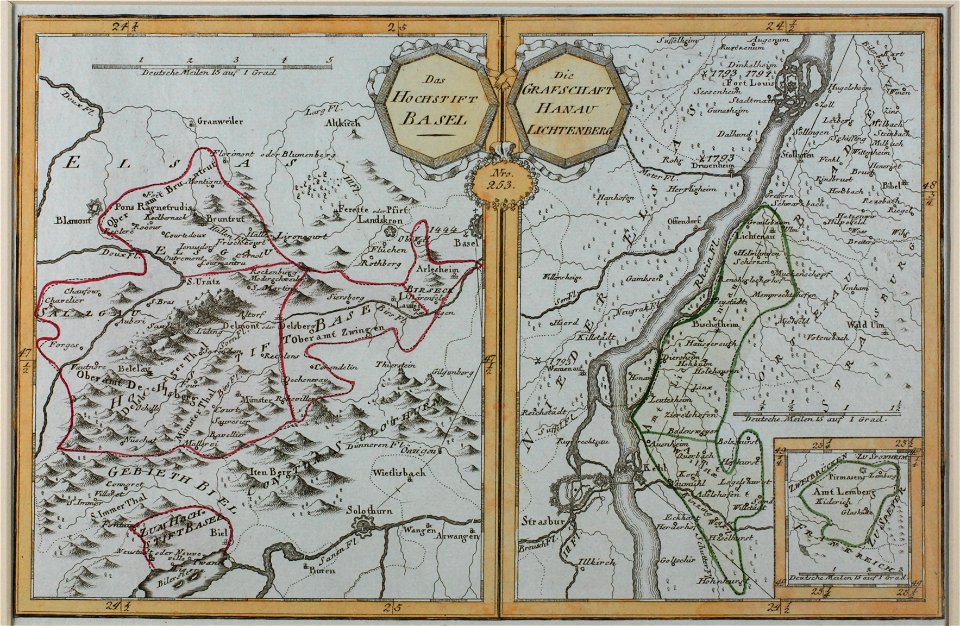
offenbach-bieber
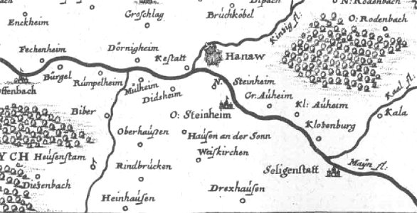
maps of hanau
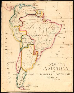
aurelia townsend herrick
1831 maps
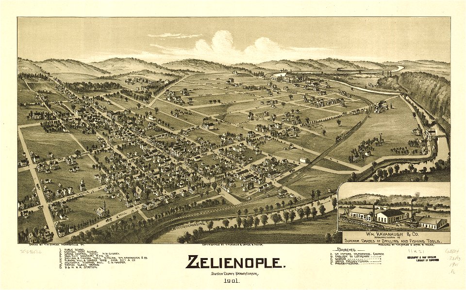
pennsylvania
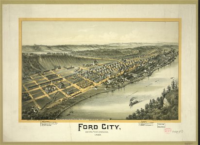
ford city
maps by willem and johannes blaeu
atlas van loon
maps in the library of congress
pennsylvania
historical images of solothurn
old maps of switzerland
maps in the library of congress
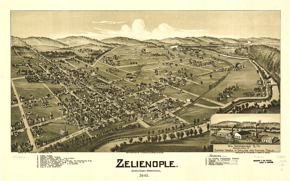
pennsylvania
maps in the library of congress
pennsylvania
pennsylvania
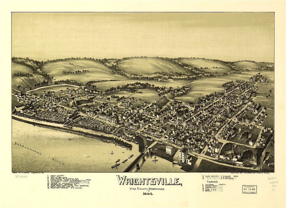
wrightsville
pennsylvania
wrightsville
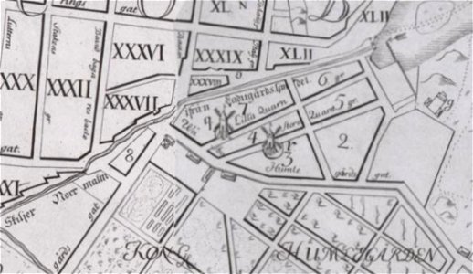
windmills in stockholm
maps of östermalm
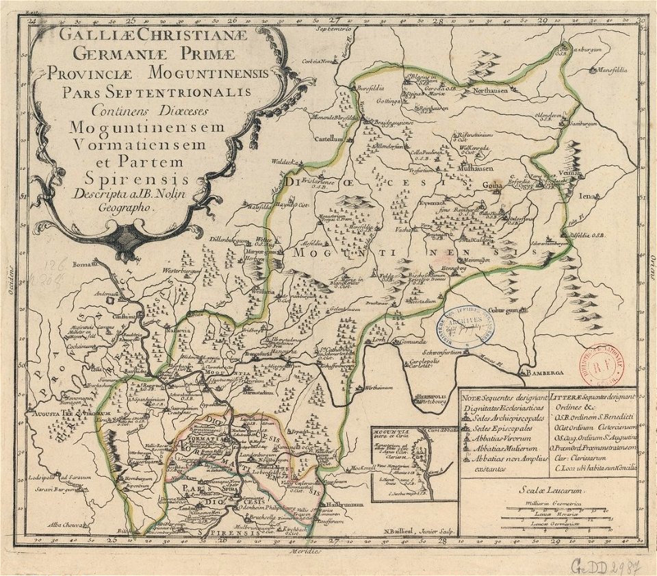
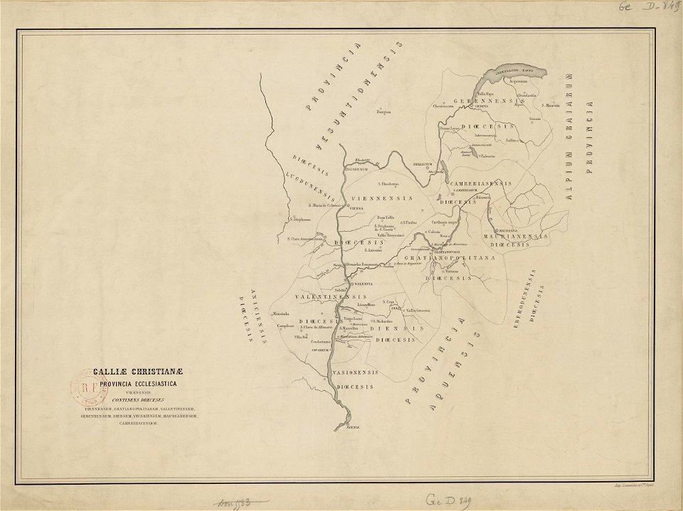
old maps published in the gallia christiana
maps of catholic dioceses of france
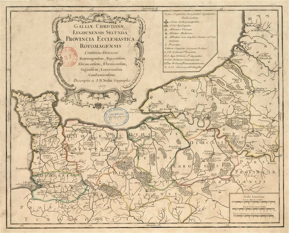
old maps published in the gallia christiana
maps of catholic dioceses of france
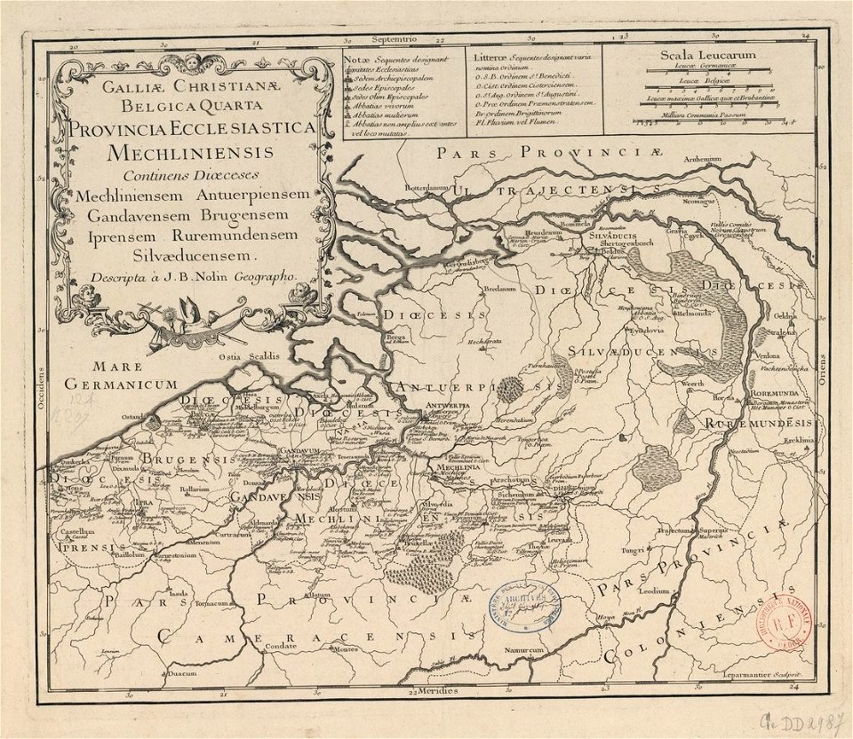
old maps published in the gallia christiana
maps of catholic dioceses of france
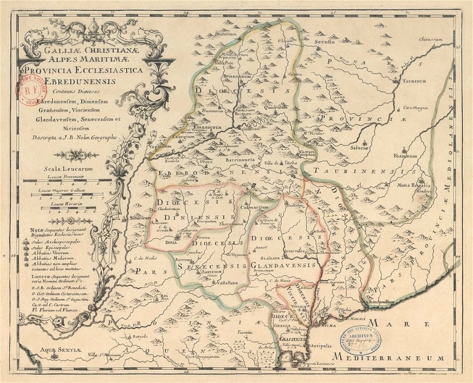
old maps published in the gallia christiana
maps of catholic dioceses of france
old maps published in the gallia christiana
maps of catholic dioceses of france
old maps published in the gallia christiana
maps of catholic dioceses of france
old maps published in the gallia christiana
maps of catholic dioceses of france
old maps published in the gallia christiana
maps of catholic dioceses of france
old maps published in the gallia christiana
maps of catholic dioceses of france
old maps published in the gallia christiana
maps of catholic dioceses of france
old maps published in the gallia christiana
maps of catholic dioceses of france
allegories of spring
allegories of winter
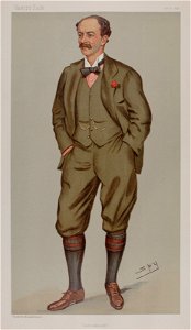
caricatures by leslie ward in vanity fair
vanity fair caricatures (politicians)
list of vanity fair (british magazine) caricatures (1895–1899)
caricatures by leslie ward in vanity fair
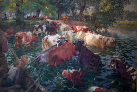
paintings by emile claus
paintings of cattle
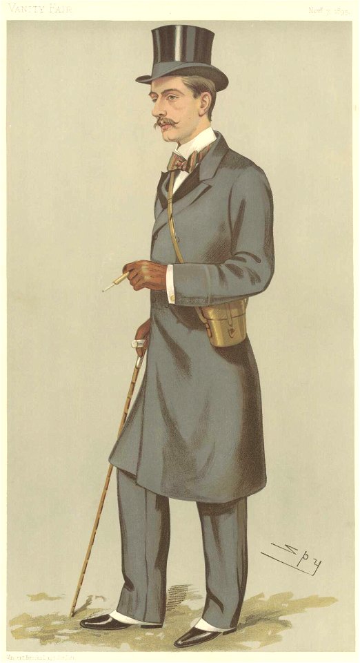
vanity fair caricatures (diplomats)
alphonse chodron de courcel
list of vanity fair (british magazine) caricatures (1895–1899)
caricatures by leslie ward in vanity fair
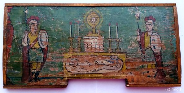
holy sepulchre
radovljica
list of vanity fair (british magazine) caricatures (1895–1899)
jules-albert de dion
printing
1899
people looking back
people in art
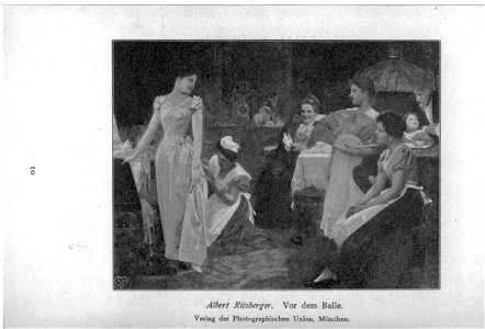
getting dressed in art
balls (dance) in art
1843 births
1918 deaths
history of dam square
amsterdam
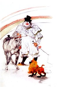
au cirque ; cheval et singe dressés 1899 - toulouse-lautrec
european drawings in the art institute of chicago
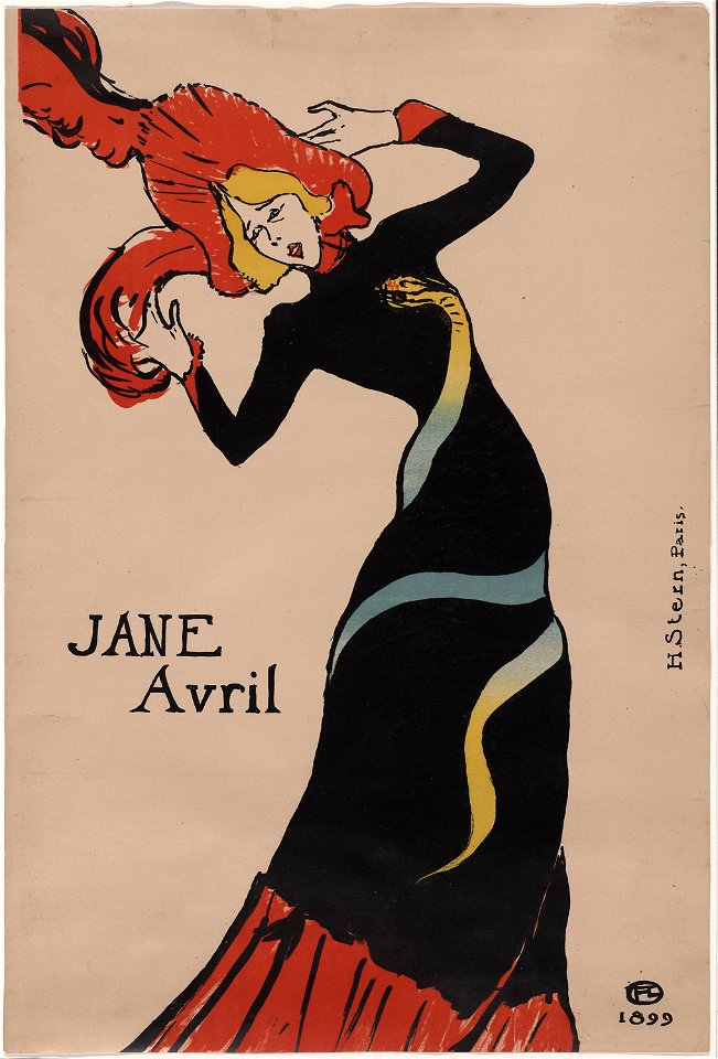
prints by henri de toulouse-lautrec by delteil number
jane avril (1899) by henri de toulouse-lautrec
prints by henri de toulouse-lautrec by delteil number
jane avril (1899) by henri de toulouse-lautrec
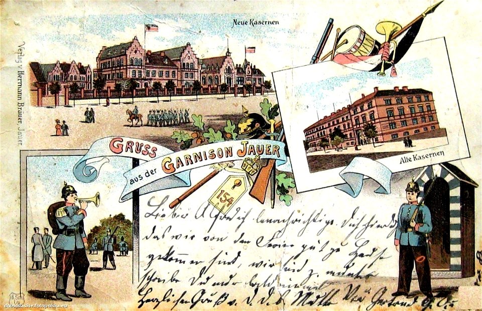
1899 postcards of former eastern territories of germany
postcards with 4 images
printing
1899
atlantis magni tomus quintus (biblioteca comunale di trento)
maps made in the 18th century
fonds ancely - bibliothèque municipale de toulouse - maps
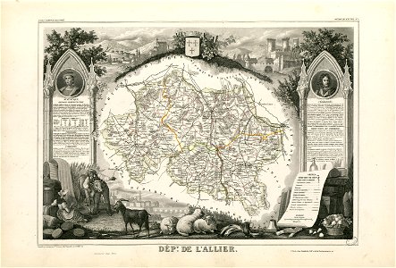
coats of arms of cities in allier
fonds ancely - bibliothèque municipale de toulouse - maps
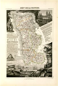
coats of arms of cities in manche
coats of arms of cities in eure
old maps of eure
fonds ancely - bibliothèque municipale de toulouse - maps
victor levasseur - maps of france
old maps of algeria
bodleian library
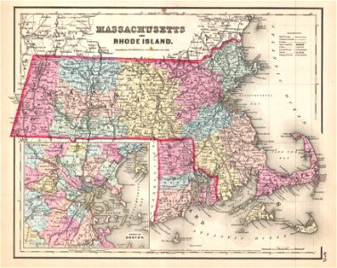
maps by joseph hutchins colton
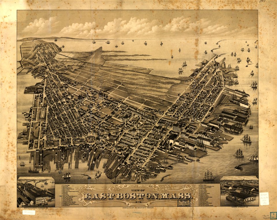
1857 maps of massachusetts
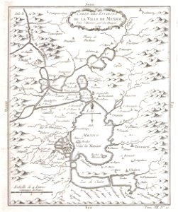
old maps of mexico
mexico
maps made in the 17th century
maps by pieter schenk (i)
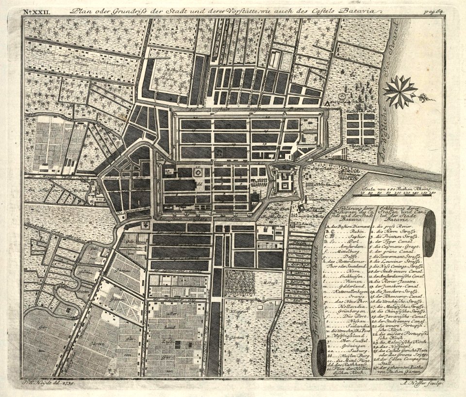
kota tua
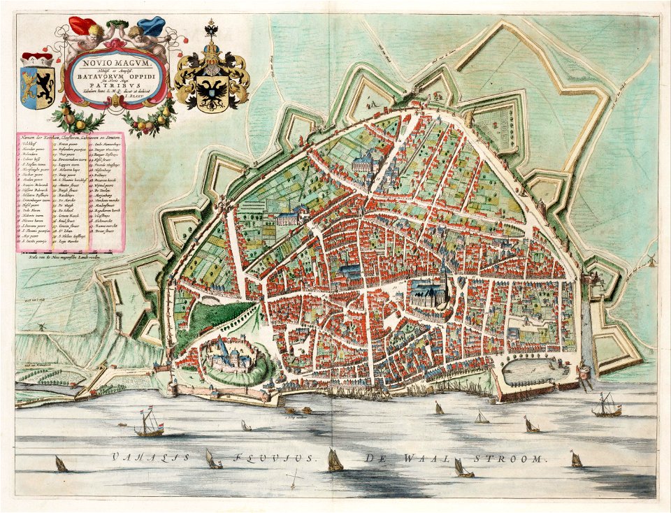
batavia
maps by pieter schenk (i)
gerard valck
maps made in the 17th century
maps by nicolaes visscher i
maps made in the 17th century
maps by nicolaes visscher i
maps made in the 17th century
maps by nicolaes visscher i
maps with cartouches
atlas van der hagen
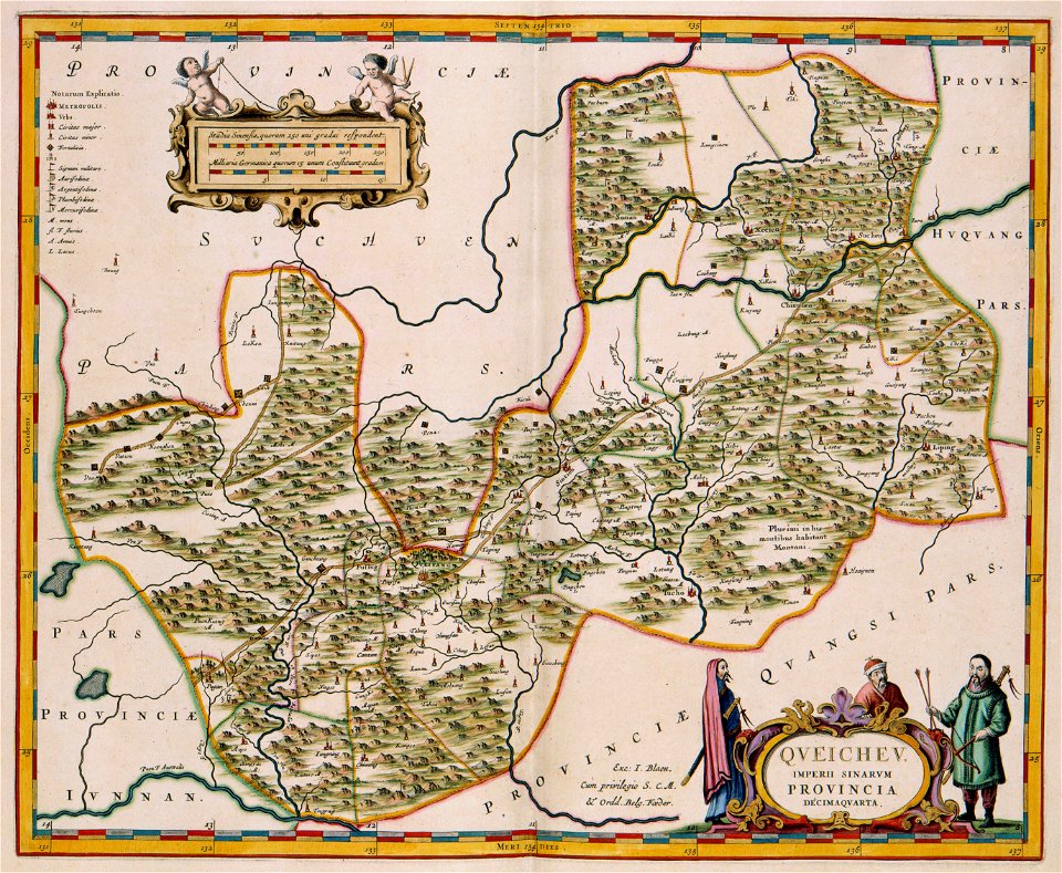
17th-century maps of china
guizhou
old maps of hesdin
old maps of france
maps with cartouches
vercelli
maps with cartouches
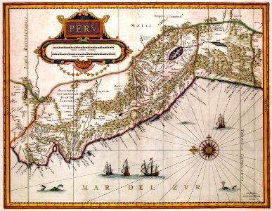
old maps of peru
johann baptist homann
latin-language maps
maps made in the 17th century
maps by nicolaes visscher i
hatched coats of arms
atlantic ocean
dutch-language maps
johannes ratelband
old maps of the carolingian empire
old maps of europe
maps by nicolaes visscher i
old maps of greece
maps made in the 17th century
old maps of gelderland
1760s etchings
1760 maps
atlantis magni tomus quintus (biblioteca comunale di trento)
maps made in the 18th century
maps by nicolas sanson
northern michigan
maps made in the 18th century
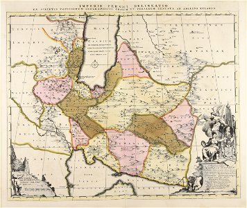
old maps of iran
the northern hemisphere of the celestial globe by albrecht dürer
old celestial maps
maps made in the 17th century
maps by nicolaes visscher i
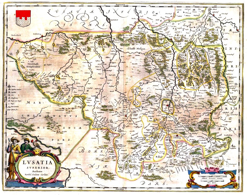
upper lusatia
kwisa
images from the new york public library
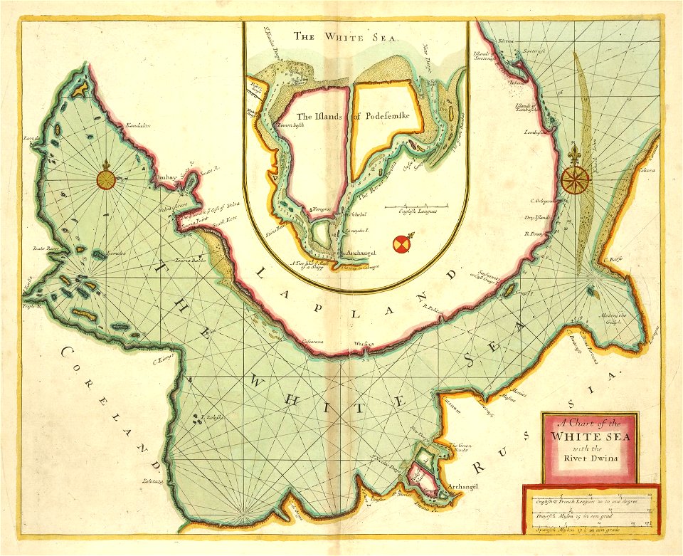
old maps of the tsardom of russia
maps made in the 17th century
maps by nicolaes visscher i
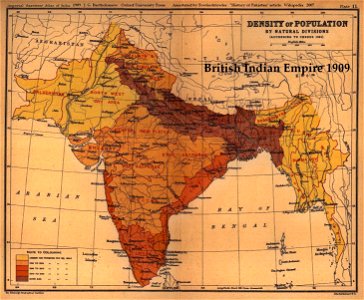
old maps of the indian subcontinent
1909 maps of india
fonds ancely - bibliothèque municipale de toulouse - maps
robert batty (artist)
6401 - 6500 of 41,226
Next page
/ 413